A Luoi is a mountainous district in the west of Hue city. Established in March 1976, A Luoi covers the area of 1.148,50 km2. According to Thua Thien Hue Statistical Yearbook 2023, the district has the population of 50.796 people, 17 communes and 1 townlet. Up to 80% of locals are people from minority ethnic groups such as Pa Ko, Ta Oi, Ka Tu, Pa Hy, etc.
The National Road 49 connects Ho Chi Minh Road with National Road 1A as well as A Luoi district with other plain districts. The two border gates between Vietnam and Lao People's Democratic Republic, namely, A Dot - Ta Vang and Hong Van - Cutai are located in the district.
Known as the land of revolution, A Luoi is home to many typical cultural and revolutionary relics, especially Truong Son Trail, also known as Ho Chi Minh Road. Totally, there are 72 historic relics remain in the district, for instance, A So airport, A Biah hill (hamburger hill), Ho Chi Minh Road, So cave tunnel system, Tien Cong cave, etc.

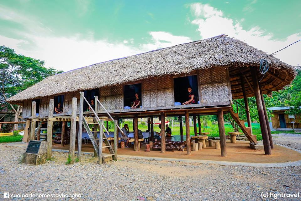
Guol house of Co Tu ethnic group (Photo: aluoi.thuathienhue.gov.vn)
Thanks to diverse natural resources and terrains, the locality has beautiful scenery such as A Nor waterfall (Hong Kim commune), Tom Trung hot springs, Pong Chat waterfall, Kenh Cram cave (A Roang commune) and so on. When it comes to A Luoi district, typical cultural values of ethnic groups must be named, for example, traditional handicraft villages and folk dishes. For these features, the district is an ideal destination for ecological and community-based tourism.
In the past time, A Luoi district made considerable progresses in socio-economic development, urbanization, commercial services and local living standard. Many important projects were deployed and operated in the district such as A Luoi hydroelectricity, Tuynen brick factory, kaolin refining factory, etc. Most of local rural traffic roads are now upgraded.
A Luoi is now promoting its potentials to become a dynamic urban area to the west of Hue city.